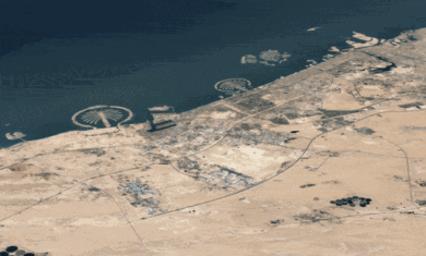
Frank Taylor at the Google Earth Blog has just posted a file that shows exactly which areas of the western US are now covered by the 10m 3D terrain.
As he suggests, you really need to head out there, turn your terrain detail up pretty high and enjoy the view!

