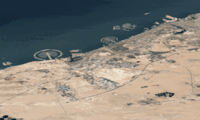
 Late last year, Google introduced terrain maps, which were 3D-looking maps of the earth — kind of a cross between flat maps and satellite imagery.
Today they’ve added contour lines to many of the maps around the world, helping to show the elevation changes in even greater detail. Their explanation is:
Contour lines depict elevation change by connecting points of equal elevation. Where contour lines are close together, you can expect a steep slope; where they are spread out, you can expect flatter terrain. They help highlight the elevation of areas like cities or plains where shading alone doesn’t capture gradual changes in elevation.
It’s not a huge new feature, but it’s very nice nonetheless. Check out places like Mt. Fuji or Mt. Rainier to get a see the contour lines in action.


Readers: It may be easier to read text on this black background by right-clicking and using “Select All” to highlight the text. I don’t know why some people make such design decisions.
Sorry about that. I’ve lightened it up a bit more. Better?