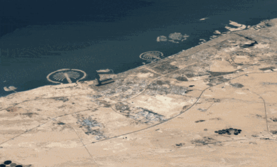
According to an article on CNET News, Google is in the process of building a tool known as “Google Ocean” to map the terrain of the ocean floors. Similar to Google Earth and Maps, Ocean will provide the base data (depth mesh and some imagery), and allow users to populate it with data for things like current, shipwrecks, coral reefs, etc.
Capturing the entire ocean in high res would take approximately 100 ship years, so it is assumed that Google will start by using something like the Predicted Depth Map from the Scripps Institution of Oceanography, then fill it in with a patchwork of higher resolution data from a variety of sources.
There is no timetable for when Google Ocean might be released. Last December, Google met with various oceanography experts to discuss the project, so at this point it should be well underway. If we hear any more news about a pending release, we’ll let you know.

