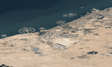
In just over five days, GeoEye is launching a new satellite and Google will be the exclusive online source for the imagery. Details of the agreement weren’t disclosed.
The GeoEye-1 satellite will be able to capture imagery at a suberb detail level of 41 centimeters, though Google will have to convert to 50cm quality to comply with US laws. The satellite will be able to capture imagery equivilent to the size of New Mexico each day, though I don’t know if that will lead to larger or more frequent updates from Google.
As a cool side bonus, the Google logo is on the side of the rocket! Check out the pics below.
Also, a brief clarification about Google’s affiliation with GeoEye was posted on Wired
earlier today:
Google is interested in collecting the highest quality commercial satellite imagery available and as a symbol of this commitment has agreed to put the company logo on the first stage of the GeoEye, Inc. launch vehicle. Google Maps and Google Earth already include imagery from GeoEye. Google does not have any direct or indirect financial interest in the satellite or in GeoEye, and did not pay any fee to place its logo on the launch vehicle.

