This story might end up getting blown way out of proportion…
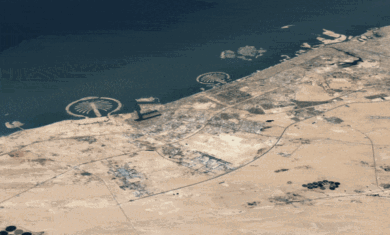
The Smoking Gun is reporting that one of the men arrested in the recent JFK airport terror plot had been using Google Earth to get details on the facility. Apparently the terrorists used Google Earth to share information about various physical aspects of the airport, including the distance from the street to the fuel tanks.
Depending how the press decides to run with this story, Google may face some serious heat. Of course, if Google Earth (and Maps) didn’t exist, there’s hundreds of other places where terrorists can get this data. It’ll be interesting to see how this gets portrayed in the coming days.


Google Earth is like a knife, it can be used for good reasons or for bad. If a knife is used badly then we should rid of all knives?