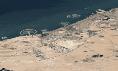
 Google Maps has just added a very nice new feature – terrain view. This isn’t satellite images, but rather it is map-ish terrain views. It’s very pleasing to the eye.
To make room for this new feature, the “hybrid” button has been removed and you now are given a “Show labels” checkbox when viewing in Satellite mode.
For more information, check out the official post on the Google LatLong blog.


its not ‘news’ any more since i read that in the morning and i’ve seen that topic appear about 20 times on different blogs today.
I want to know how to measure the ground level difference between two given points on Google Earth?