The Virtual Earth 3D blog has a post today
that explains in detail how they create each 3D city. From the article:
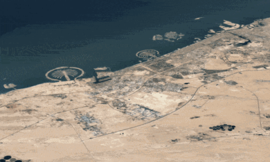
Microsoft’s acquisition of Vexcel Corporation, a 20-year old provider of remote sensing solutions, provided the Virtual Earth team with a broad background in photogrammetry, geospatial data production, and digital elevation model (DEM) generation and refinement. The models and their texturing are generated from aerial imagery generally captured at a 15 cm ground sample distance (GSD) by planes flying at roughly 5,500 feet over the target city and capturing a minimum of 5 views for each building (top and 4 sides). Since the Vexcel acquisition, this aerial imagery is increasingly being captured using the Vexcel UltraCAM series of high-resolution digital cameras, providing Virtual Earth’s 3D display with sub-meter accuracy.
Along with being able to generate massive numbers of models per city, they’re also able to load quickly for each user. In fact, this is one of my favorite things about Virtual Earth. They’ll load 3D models very quickly and very low-res, then slowly sharpen them up as you zoom in on them.
Google Earth, on the other hand, can only load full-res models. Google’s models tend to look a little better than the ones in Virtual Earth, but the quantity and load time make VE’s cities look much better.
The full article goes into much more detail, and it’s well worth reading.