May 6, 2008

Various Google Earth data about Cyclone Nargis

Reading Time: < 1 minute

Google has just released

a layer for Google Earth which shows some data about the path of the cyclone in Myanmar, along with some maps to display the extent of the flooding. They were built by UNOSAT, an organization working to help the people of Myanmar.

Also, NASA has created a simple KML that shows a powerful satellite image of the storm as it was charging toward the coast.

Update, May 7: NASA has added an image showing the current aerial view of the country.  Extensive flooding is quite visible.  Get the file here.

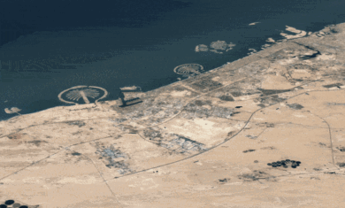
Here are a few screenshots from the files:

Leave a Reply

Your email address will not be published. Required fields are marked *

Related Posts

Turn back time in Google Earth

Reading Time: < 1 minuteGoogle Earth has had an “historical imagery” feature since back in 2009 (I wrote a bit about it in 2010), but they recently updated the…

Read More

Explore “from cave paintings to the internet” on Google Maps

Reading Time: < 1 minuteHistoryOfInformation.com has just put out a very powerful new map that lets you explore famous locations in history around the world.  You can select a…

Read More

Google Maps coming back to Windows Phone “soon”

Reading Time: < 1 minuteLate yesterday, Google cut off in-browser access to Google Maps for Windows Phone users. The reason, according to Google: “IE mobile still did not offer…

Read More