Reading Time: < 1 minute

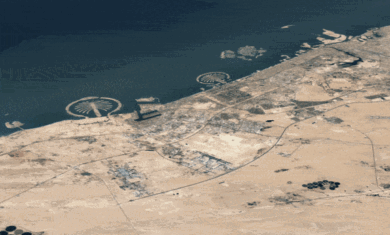
 A cool looking 3D navigation program called Navi2Go from 3DVU has just been released. It uses real world imagery and terrain and puts it in the palm of your hand as a GPS navigation device. It’s got the look and feel of Google Earth, with the usefulness of a TomTom.
Of course, the usefulness of a device like this is how well it routes, re-routes, and simply gets you from point A to point B. I haven’t seen a real review of the device yet, so that remains to be seen.
As of now, it’s available on a wide variety of Windows Mobile, Symbian and BlackBerry devices, with iPhone support “coming soon”.
More information can be found at GISuser or on 3DVU.com.
I found your blog on google and read a few of your other posts. I just added you to my Google News Reader. Keep up the good work. Look forward to reading more from you in the future.