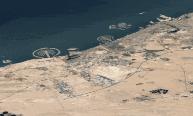
Virtual Earth 6.2 has been released, with a whole host of new features. Among them:
- New imagery — “Richer bird’s eye” and new 3D imagery, but I can’t find a list of what’s been updated.
- Weather integration — Real-time clouds (see more below)
- Localized maps — English, German, French, Italian and Spanish.
- Near-matching — Helps find locations with alternate and similar spellings.
- Landmark-based routing
- Rich imagery for mobile users — Their screenshot shows an iPhone, but I can’t make it work on mine. Maybe I need a specific URL?
- One-click directions
The new imagery might be worth writing about, but I can’t find what’s new. However, the clouds are very cool. Fly down low in a city, look up, then wait a few seconds. Pop! There they are.
Unlike the clouds in Google Earth, these are fully 3D semi-transparent clouds. Flying through them, they look almost real — it’s very impressive.There are a few downsides, though. For one, they load in square tile areas. If you fly too quickly, they’ll disappear until the next set loads. Also, there is no way to leave them on and get a satellite view of an area from up high; if you fly very high above them, they simply go away to leave you with a clear view of the ground.
I’ll leave you with a short video demo of the clouds, shot by Frank Taylor at Google Earth Blog
. With it, you can really see just how cool this feature is. He’s using a SpaceNavigator to fly through them, a tool which I strongly recommend for any avid Virtual Earth (or Google Earth) user.


wow!